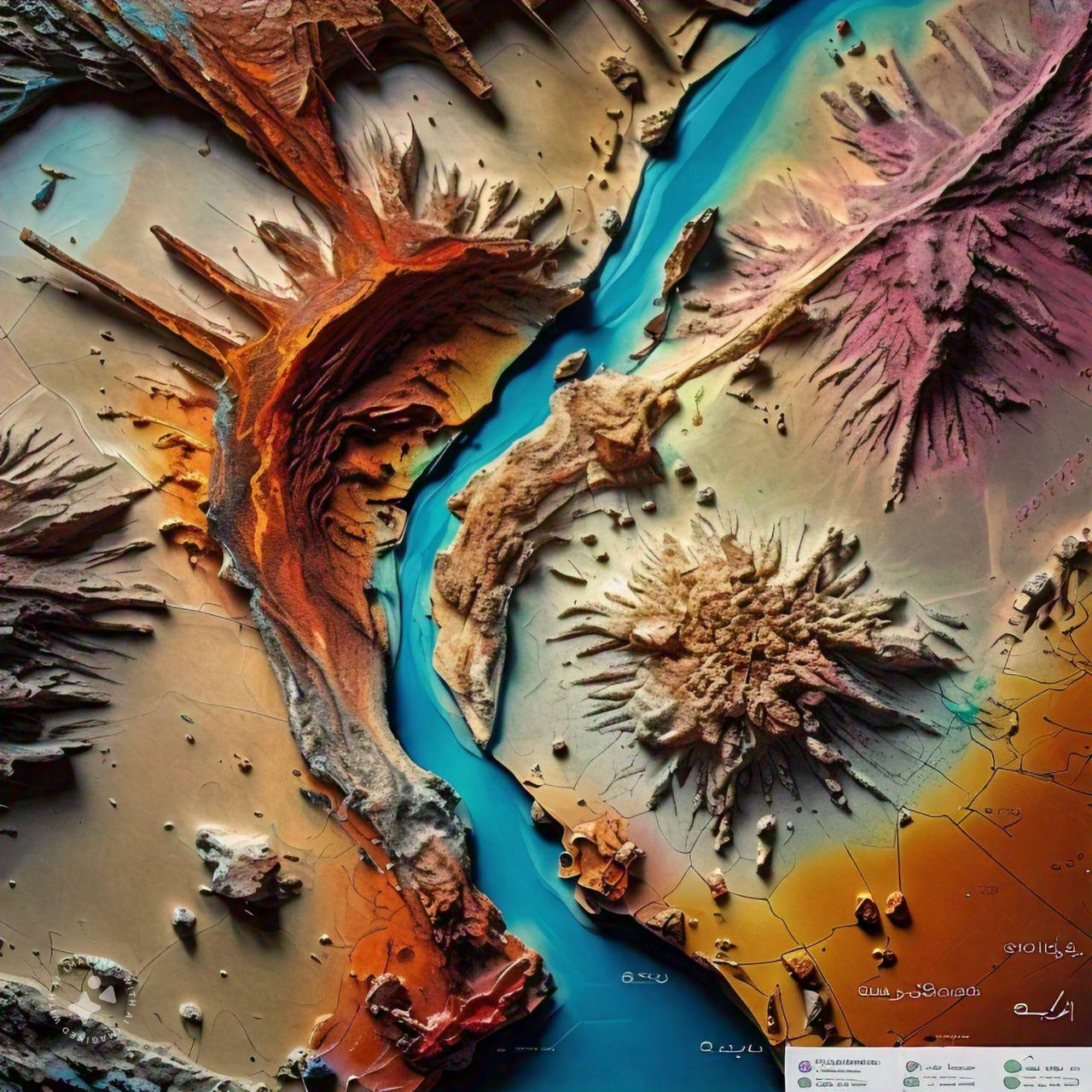
Mineral Exploration
Mineral exploration is the staged search for deposits of metals or industrial minerals that may be worth mining. It begins with desk studies of geological maps, satellite imagery and historical records, followed by regional mapping, geochemical sampling and geophysical surveys to define target areas. Promising targets are tested by trenching and then by reverse circulation or diamond core drilling, and the samples are logged and sent for laboratory assay. Each stage narrows the search and decides whether further investment is justified. The work combines field geology, geochemistry, geophysics and data management, and its results form the basis for resource estimation, feasibility studies and licence applications.
Resources Estimation
Resources estimation quantifies how much mineral material a deposit contains and at what grade or quality. It starts from a validated drill hole database, a 3D geological model that defines the mineralised zones, and density measurements. Assays are composited and analysed statistically, and grades are interpolated into a block model using methods such as inverse distance weighting or kriging. The estimate is then checked against the input data and classified as Measured, Indicated or Inferred according to the confidence in geology and sampling, following reporting codes such as JORC or NI 43-101. The results support mine planning, feasibility studies, investment decisions and quarry life assessments.
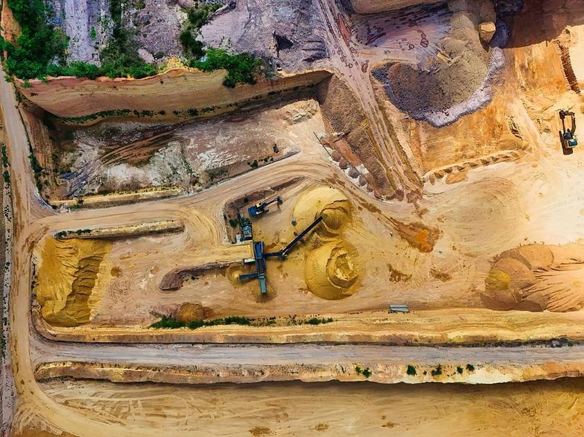
Construction Material Quarry Surveys
Construction material quarry surveys locate and evaluate sources of aggregate, sand, rock fill, base course and armour stone for building and infrastructure projects. Geologists review maps and imagery, map candidate sites, and investigate them with test pits, trenches, drilling and sometimes geophysics to define the extent and thickness of usable material and overburden. Representative samples are tested for grading, strength, abrasion, soundness, absorption and reactivity with cement. Topographic surveys and the geological model are used to estimate available volumes. The findings show whether a source meets project specifications for concrete, asphalt, road layers or marine works, and support haul distance, cost and permitting decisions.
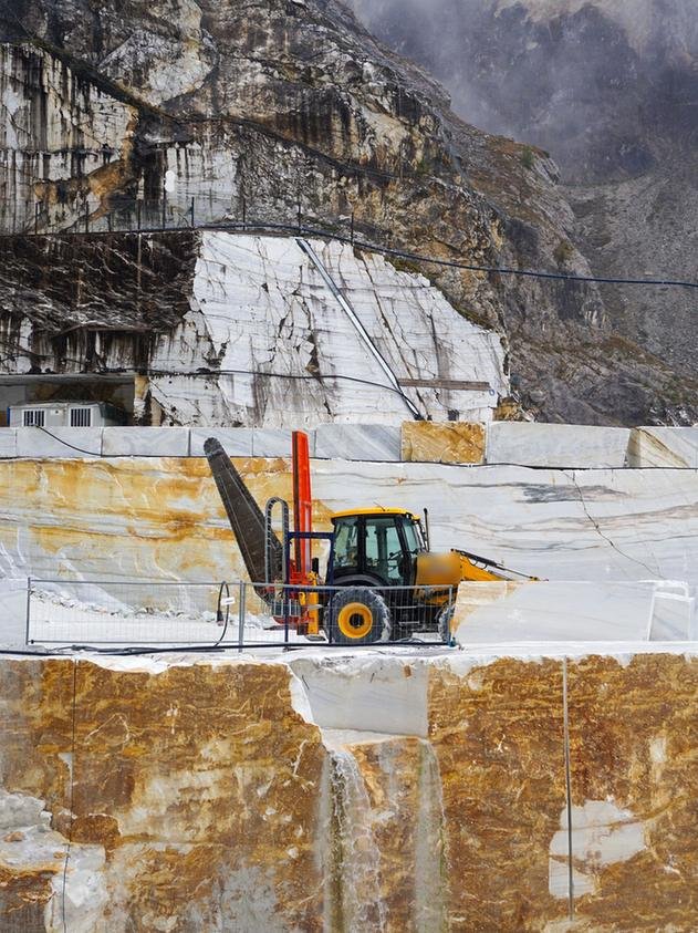
Mineral Quarry Assessment
Mineral quarry assessment evaluates the geology, quality and quantity of material in a quarry that produces industrial minerals or dimension stone, such as limestone, gypsum, silica sand, marble or granite. Geologists map the quarry faces and surroundings, log drill core, and sample the deposit to measure chemical composition, physical properties and variation across the site. Joints and faults are mapped because they control block size and face stability. The data are combined in a geological model to estimate reserves, define overburden and waste, and plan bench layout and extraction sequence. The assessment supports operating decisions, expansion plans, product quality control and long-term quarry planning.
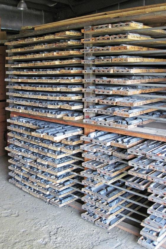
Core Logging & Classification
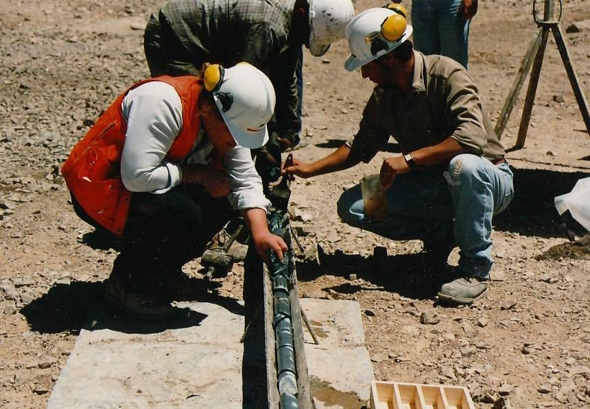
Core logging is the systematic description of rock and soil cores recovered from boreholes. Core is laid out in labelled boxes, photographed and measured for total and solid core recovery and Rock Quality Designation (RQD). The geologist then records rock or soil type, colour, grain size, weathering, estimated strength and the spacing, orientation and condition of discontinuities, using standard terms such as those in BS 5930, ASTM and ISRM guidance. Samples are selected for laboratory testing and the core is stored for future reference. Accurate logs are the foundation of the ground model and are used to classify rock mass quality, derive design parameters and support resource evaluation.
Geochemical Sampling
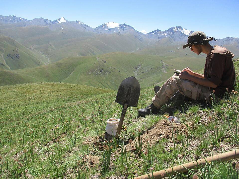
Geochemical sampling collects soil, stream sediment, rock chip and channel samples so their chemical composition can be measured in a laboratory. Samples are taken on a planned grid or along traverses and drainage lines, with each location recorded by GNSS and the material described and bagged with a unique number. Quality control samples, including blanks, duplicates and certified standards, are inserted to check laboratory accuracy. Results are mapped and analysed statistically to identify anomalies that may indicate mineralisation and to define drilling targets. The same methods are used in environmental studies to establish natural baseline values and identify contamination in soil and water.
Other capabilities in this service
Back to Geological Mapping ServicesDiscuss your project with ATLAS GES
Tell us about your site and requirements, and our team will get back to you.
Get in Touch