Feasibility Study Surveys
Feasibility study surveys collect the early site information needed to decide whether a project is technically and economically viable, and which option to pursue. They usually start with a desk study of existing maps, satellite imagery, geological records and previous reports. This is followed by a site reconnaissance and targeted, lower-density field surveys: topographic or aerial mapping, preliminary bathymetry for marine sites, utility searches and a limited number of exploratory boreholes or probes. The findings identify key constraints such as difficult ground, flood levels or buried services. Owners and designers use the results to compare route or layout options, estimate costs and plan detailed investigations.
Integrated Turnkey Solutions
An integrated turnkey solution places the whole delivery of a survey or monitoring package under one contract and one point of responsibility. The provider handles every stage: understanding the requirement, specifying and supplying the equipment, mobilising vessels or field crews, acquiring and processing the data, and delivering final reports, drawings or a working system. For instrumentation such as tide gauges, met-ocean buoys or monitoring networks, this also covers installation, commissioning and handover. Because interfaces between separate suppliers are removed, the client gets one coordinated programme and a single point of contact, with clearer accountability for quality and schedule.
Installation Support
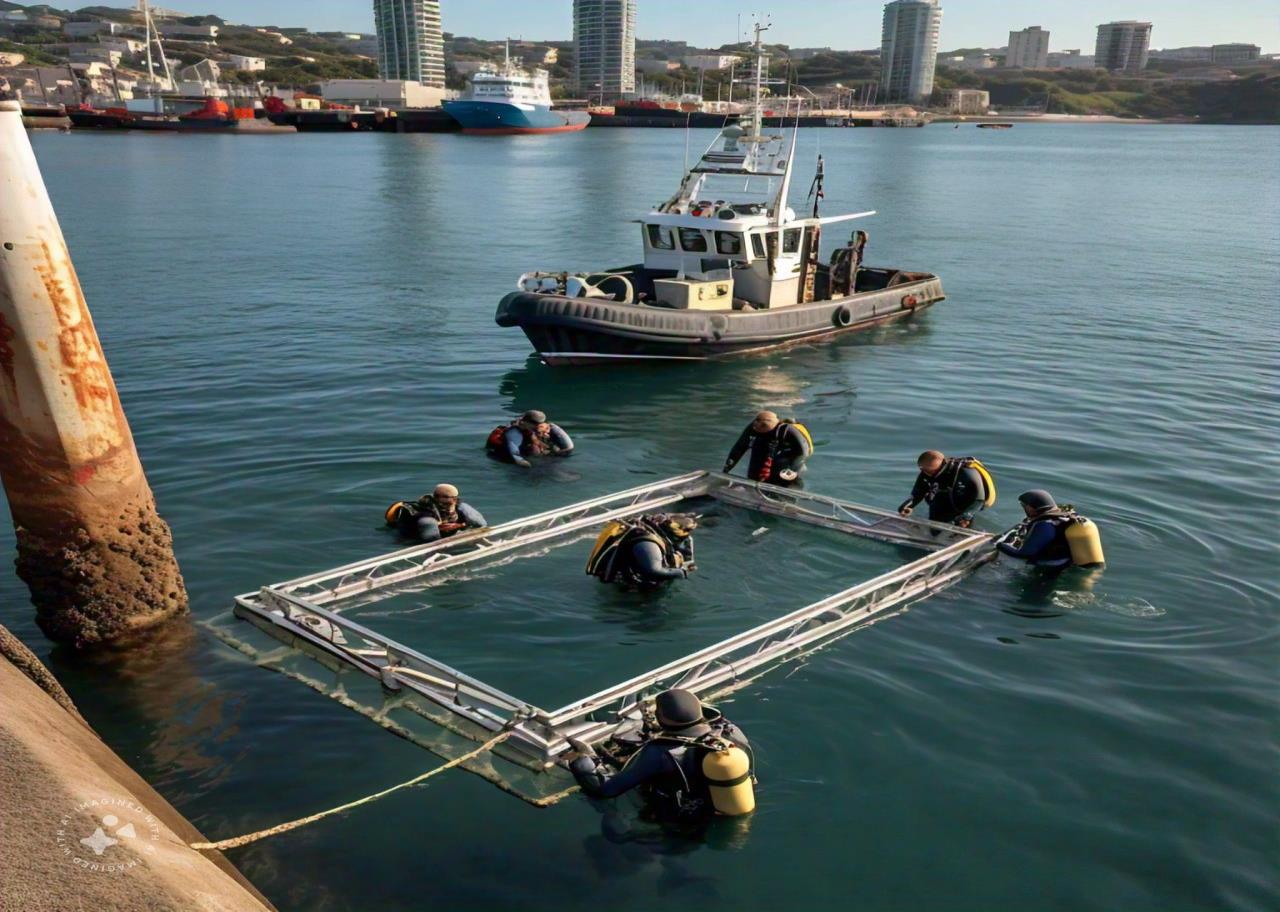
Installation support provides survey and technical help while equipment or structures are being placed, so that they end up in the correct position and work as intended. For marine and land projects, this can include positioning vessels and cranes with GNSS and heading sensors, guiding the placement of anchors, piles, pipelines, cables or subsea structures, and verifying their final location and orientation. For instrumentation, it covers mounting sensors such as tide gauges, buoys, GNSS stations or monitoring devices, routing power and communications, and checking that each component is fitted to specification. Accurate installation reduces rework and gives reliable data from day one.
Commissioning Support
Commissioning support is the structured process of proving that a newly installed system works correctly before it is handed over for routine use. For survey and monitoring systems, technicians power up each component, configure software and communications, and check that sensors such as echo sounders, GNSS receivers, motion sensors, tide gauges or met-ocean instruments are reading correctly. Calibrations and offset measurements are carried out, and test data is compared against independent checks. Any faults are corrected, and the results are recorded in commissioning reports and test certificates. This confirms performance against the specification and gives the owner documented evidence that the system is ready.
System Training
System training teaches the client's staff how to operate, maintain and get reliable results from survey and monitoring equipment and software. Courses typically combine classroom sessions on principles, such as positioning, acoustics, tides or data quality, with hands-on practice using the actual instruments and processing packages. Topics usually include setup and calibration, daily checks, data acquisition, processing and export, basic maintenance and safe working practices. Training is often delivered on site during handover and supported by written procedures and manuals. Well-trained operators collect more consistent data, recognise problems early and keep systems running between specialist service visits.
First-Line Troubleshooting
First-line troubleshooting is the initial technical response when a survey or monitoring system develops a fault or starts producing questionable data. A technician, on site or working remotely, follows a structured diagnostic process. This means checking power supplies, cables and connectors, communications links, software settings and sensor status, reviewing error logs, and running basic function tests. Many common issues, such as loose connections, configuration errors, flat batteries or blocked sensors, can be fixed at this stage. Faults that need component replacement or factory repair are documented and escalated to specialist or manufacturer support. Fast first-line response reduces downtime and data gaps.
Other capabilities in this service
Back to Survey ServicesDiscuss your project with ATLAS GES
Tell us about your site and requirements, and our team will get back to you.
Get in Touch