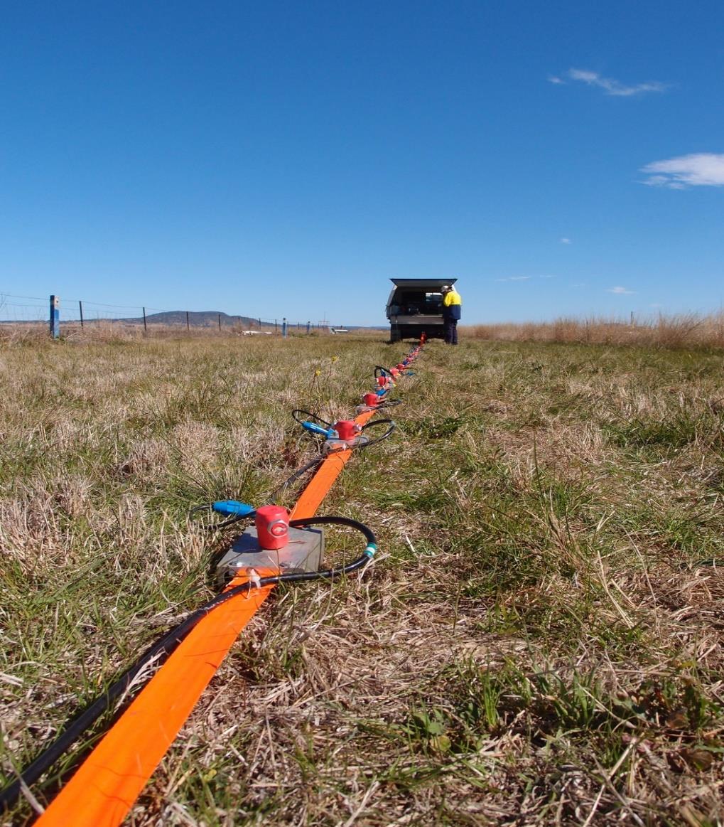
Sub-bottom Profiling
Sub-bottom profiling uses sound to image the layers of sediment and rock beneath the seabed or a lake bed. An acoustic source such as a chirp, pinger, boomer or sparker is mounted on the vessel hull or towed behind it, and transmits pulses downward while the vessel follows planned survey lines. Part of the energy reflects from each boundary between materials and is recorded to build a continuous cross-section. Higher-frequency systems give fine resolution in soft sediment, while lower-frequency sources penetrate deeper. The profiles show sediment thickness, depth to rock, buried channels and gas pockets, and are used for dredging estimates, pipeline and cable routes, port works and offshore foundation planning.
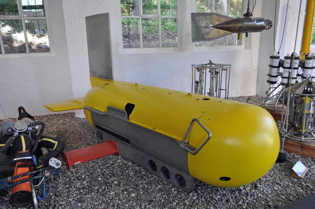
Marine ERT Survey
A marine ERT survey adapts electrical resistivity tomography for use over water. A cable carrying a series of electrodes is towed behind a boat, either floating on the surface or dragged along the bottom, while a resistivity meter continuously injects current and measures voltages as the vessel moves along survey lines. GNSS positioning and an echosounder record the boat location and water depth, which are included in the processing. The data are inverted into resistivity sections of the water column and the materials beneath it. Marine ERT is used in shallow coastal waters, rivers and lagoons to distinguish sand, clay and rock, map freshwater discharge and saline intrusion, and screen dredging and foundation areas.
Side Scan Sonar Survey
Side scan sonar produces a detailed acoustic image of the seabed surface. A streamlined towfish fitted with transducers on both sides is towed behind a vessel at a controlled height above the bottom and emits fan-shaped pulses of sound to the left and right. The strength of the returning echoes is recorded line by line to form an image that resembles an aerial photograph, with shadows that reveal the height of objects. Overlapping survey lines give full coverage of the area. Side scan sonar is used to find debris, wrecks, boulders, exposed pipelines and cables, map seabed sediment types and rock outcrops, and check sites before dredging, piling or marine construction.
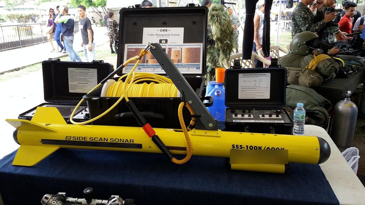
Marine Magnetometer Survey
A marine magnetometer survey measures small variations in the Earth's magnetic field to detect ferrous objects on or beneath the seabed. A sensitive caesium-vapour, Overhauser or proton sensor is housed in a towed body and pulled far enough behind the vessel to avoid its magnetic influence, often together with a side scan sonar. Readings are taken many times per second and combined with GNSS positions and sensor depth. After correcting for daily changes in the natural field, local anomalies are mapped and interpreted. The method is used to locate buried pipelines and cables, wrecks, anchors and unexploded ordnance, and to clear routes and sites before dredging, cable laying or offshore construction.
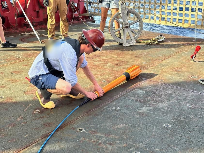
Marine Resistivity Imaging
Marine resistivity imaging produces detailed electrical images of the ground beneath water by placing electrode cables directly on the seabed or riverbed and keeping them stationary during measurement. Divers or the survey vessel lay the cable along a planned line, and a resistivity meter on board or onshore runs a full sequence of current and voltage measurements, as on land. Because the electrodes do not move, more readings and stronger signals can be collected than when towing, giving higher resolution and greater depth. The results are inverted into two- or three-dimensional resistivity models. Typical uses include investigating shoreline transition zones, foundations of piers and bridges, submarine groundwater discharge and karst or fractured rock below the seabed.
Bathymetric Survey (Single/Multi-beam)
A bathymetric survey measures water depth to produce an accurate map of the seabed, lake or river bottom. A single-beam echosounder sends one sound pulse straight down and records depth along each survey line, which suits routine and shallow-water work. A multibeam echosounder sends a wide fan of beams and maps a continuous swath of the bottom, giving full coverage and fine detail. Both systems are combined with GNSS positioning, a motion sensor, sound velocity profiles and tide corrections to achieve reliable depths. The resulting charts and digital terrain models are used for navigation channels, dredging design and volume calculations, port and coastal works, and pipeline or outfall routes.
Other capabilities in this service
Back to Geophysical ServicesDiscuss your project with ATLAS GES
Tell us about your site and requirements, and our team will get back to you.
Get in Touch